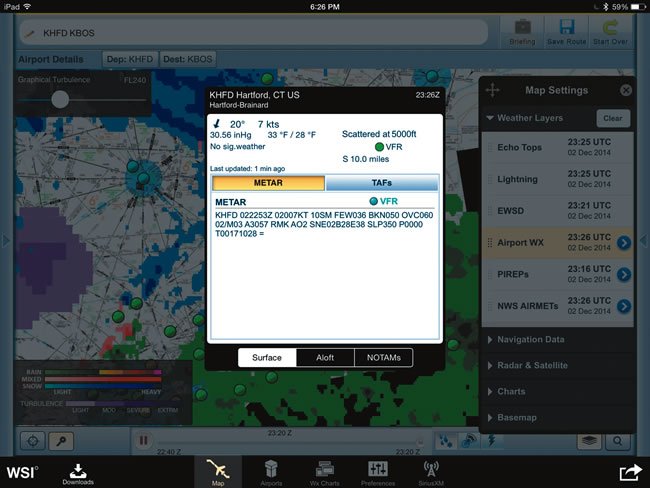
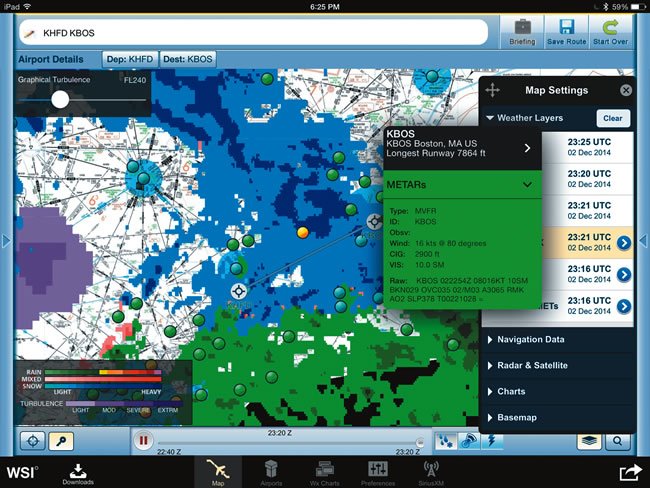
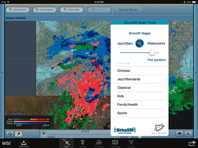
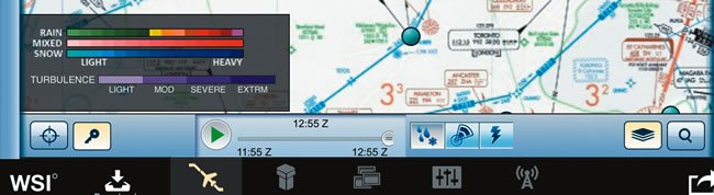
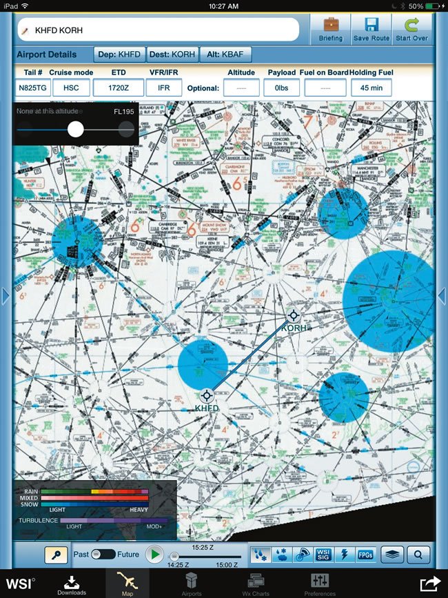
Descending from the top: Once airports are entered or a flight plan is selected, you gain access to current METAR data by tapping on a METAR plot on the map. When the Airport WX layer is active, Airport Details displays METAR, TAF, winds and temperatures aloft, plus NOTAMs for the selected airport. A Graphical Turbulence slider maps the potential turbulence at various altitudes, from light to extreme. This is color-coded on the map in four shades of purple. SiriusXM Satellite Radio is streamed from the SXAR-1 via a separate Bluetooth link. It requires an optional entertainment subscription, but is controlled from the Pilotbrief app. The apps main menu and weather overlay tabs are the bottom of the screen, while flight planning data is at the top.