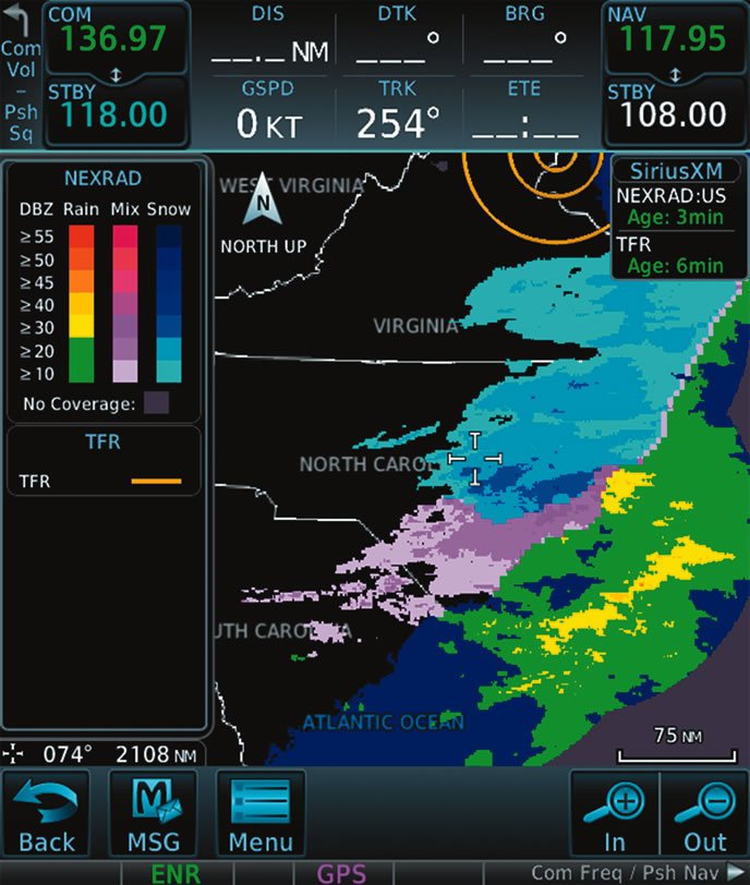
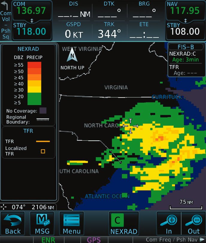
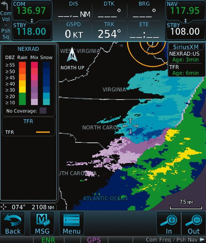
The Garmin GTN750 screenshots below compare NEXRAD images as delivered by SiriusXM satellite, above, and FIS-B ADS-B uplink, below. While WSI is the weather provider of both datalink products, there are some obvious and considerable differences. Note that both screens are displaying the same NEXRAD returns, at three minutes old, and at a 75-mile map range.
Compared to SiriusXM, a sizable limitation of FIS-B is its inability to differentiate between liquid and frozen precipitation. When compared to Broadcast radar imaging, FIS-B radar has a more blocky appearance, due to its lower resolution. For bandwidth-limited FIS-B, the resolution of displayed continental U.S. (CONUS) NEXRAD is approximately 10 kilometers, or 5.4 nm. For regional NEXRAD (within 500 miles of the aircraft location), resolution is two kilometers, or 1.09 nm. We asked SiriusXM about the resolution of its radar, but it said it doesn’t share those details.
The bottom line: if you regularly use Broadcast radar to tactically pick your way through areas of dense precipitation, switching to ADS-B weather could limit your mission. But for steering clear of precipitation that you simply don’t want to fool with, we think FIS-B data gets the job done—for free.


